Mt. Baker & Snoqualmie · Washington · 957 ft

Verlot Campground

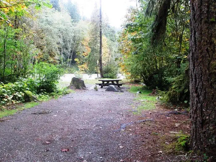
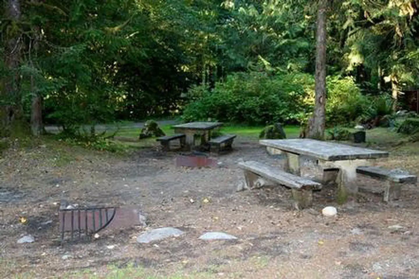
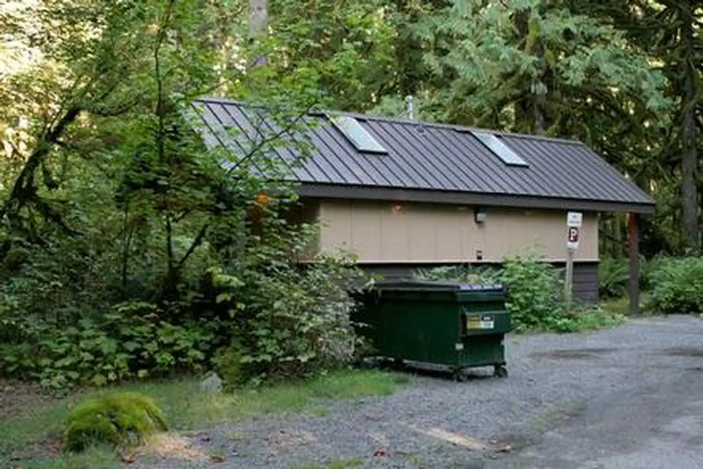
Verlot Campground is located just off the Mountain Loop Highway in the stunning Mt. Baker-Snoqualmie National Forest. Situated on the west side of the Cascades between the Canadian border and Mt. Rainier National Park, this area is one …

Verlot CampgroundVerlot CampgroundVerlot Campground

Photos: Recreation.gov · CLM Staff

Conditions right now

Check conditions

  • The weather forecast isn't available right now

Updated Nov 18, 6:18 PM PT

Campground

Managed byMt. Baker-Snoqualmie National Forest (USDA Forest Service)
Forest ServiceListed as open
Campsites26
ReservationsReserve on Recreation.gov
FeesView Recreation.gov for Fee Information and for open season dates.
Good to knowMax vehicle length: 40ft
FeaturesRV-friendly: RVs and trailers up to 40 ft · 19 of 23 sites
Dog-friendly: Pets allowed at every site
Accessible sites: 2 accessible sites
National forest: USDA Forest Service
Elevation957 ft
DirectionsGoogle Maps · Road conditions

Mt. Baker-Snoqualmie National Forest recreation page

Forecast

The National Weather Service forecast is unavailable right now.

Snow

There’s no snow station close to this campground’s elevation, so snow depth isn’t shown here. Watch the forecast for snow and ice.

Air quality

36 AQI

Good (PM2.5), measured at Marysville-7th Ave at 18:00 PST.

AirNow

About Verlot Campground

Verlot Campground is located just off the Mountain Loop Highway in the stunning Mt. Baker-Snoqualmie National Forest. Situated on the west side of the Cascades between the Canadian border and Mt. Rainier National Park, this area is one of the most spectacular in the the country, showcasing glacier-covered peaks, wide mountain meadows and old-growth forests, rich in history and outdoor opportunities. Verlot is a relatively quiet camp, and its close proximity to the South Fork Stillaguamish River offers an ideal setting for visitors wanting to enjoy the serenity of the flowing water or the easy access to fishing. Recreation The Mt. Baker-Snoqualmie National Forest has 1,500 miles of trails, ranging from smooth paths through deep, quiet forests to challenging ascents up boulder-studded mountains. Hiking opportunities abound for every skill level. The Mt. Dickerman Trail, located near the campground, switchbacks steeply for 3 miles through a dark forest to an alpine meadow, replanted in 1915 after a major forest fire. From this point, the trail rises above the timberline to an alpine meadow alive with wildflowers in July and August.

Activities: Camping.

From Recreation.gov.

Trailheads nearby

Nearby campgrounds

Data from the National Weather Service, NOAA’s National Snow Analysis, USDA SNOTEL, AirNow, Recreation.gov and the USDA Forest Service. Conditions and seasons change; this page is a starting point, not a guarantee.