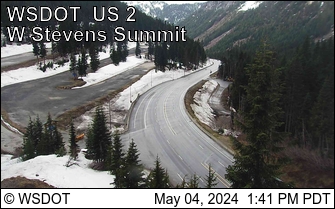
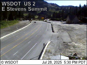
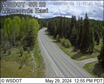
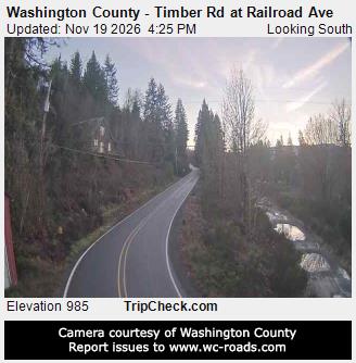
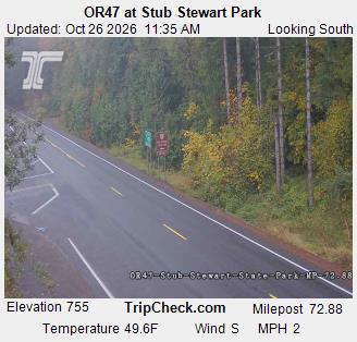
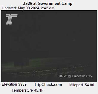
Closures, chain and traction tire requirements, road and weather reports and pass cameras for 51 Washington and Oregon passes, from WSDOT and ODOT.
Cayuse Pass
SR 123 · 4,675 ft · 36°F
Closed
SR 123 Cayuse Pass is closed for the season. For outdoor recreational information visit the Mount Rainier National Park road status page: https://www.nps.gov/mora/planyourvisit/road-status.htm
Both directions: Closed for the season
Trailheads & campgrounds nearby (4)
Chinook Pass Overlook Trailhead (1 mi), Lodgepole Campground (8 mi), Silver Springs Campground (9 mi), Ohanapecosh Campground (9 mi)
Chinook Pass
SR 410 · 5,430 ft
Closed
SR 410 Chinook Pass is closed for the season due to adverse conditions and avalanche risk. Eastbound closure is at milepost 57, Crystal Mountain Boulevard, 12 miles west of the summit. Westbound closure is at milepost 74.5, Morse Creek, 5.5 miles east of the summit.
Both directions: Closed for the season
Trailheads & campgrounds nearby (4)
Chinook Pass Overlook Trailhead (0 mi), Lodgepole Campground (7 mi), Silver Springs Campground (8 mi), Suntop Trailhead (10 mi)
Blewett Pass
US 97 · 4,102 ft · 31°F
Traction tires advised
Snow and slush.
Weather: Snowing.
Both directions: Traction Tires Advised, Oversize Vehicles Prohibited.
Trailheads & campgrounds nearby (4)
Swauk Campground (4 mi), Devils Gulch ORV Trailhead (6 mi), Mineral Springs Campground (6 mi), Mission Ridge Trailhead (7 mi)
Crystal to Greenwater
SR 410 · 2,600 ft · 38°F
Traction tires advised
Bare and Wet.
Weather: Slightly Raining
Both directions: Traction Tires Advised, Oversize Vehicles Prohibited.
Trailheads & campgrounds nearby (4)
Dalles Campground (1 mi), Camp Sheppard Trailhead (3 mi), Ranger Creek Trailhead (5 mi), Suntop Trailhead (5 mi)
Mt. Baker Hwy
SR 542 · 4,250 ft · 32°F
Traction tires advised
Bare & wet.
Weather: Clear.
Both directions: Traction Tires Advised, Oversize Vehicles Prohibited.
Trailheads & campgrounds nearby (4)
Bagley Lakes Trailhead (1 mi), Lake Ann Trailhead (1 mi), Artist Point Trailhead (2 mi), Silver Fir Campground (3 mi)
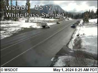
White Pass
US 12 · 4,500 ft · 30°F
Traction tires advised
Mostly bare and wet with snow and slush in places
Weather: Light snow
Both directions: Traction Tires Advised, Oversize Vehicles Prohibited.
Trailheads & campgrounds nearby (4)
White Pass Lake (Leech Lake) Campground (1 mi), Dog Lake Campground (2 mi), Sand Lake Trailhead (2 mi), Clear Fork Trailhead (5 mi)
Disautel Pass
SR 155 · 3,252 ft · 32°F
No restrictions
Mostly bare and wet.
Weather: Overcast.
Trailheads & campgrounds nearby (1)
Crawfish Lake Campground (14 mi)
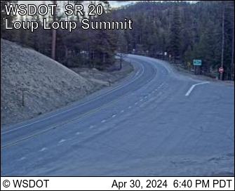
Loup Loup Pass
SR 20 · 4,020 ft · 35°F
No restrictions
Snow and slush in places.
Weather: Overcast.
Trailheads & campgrounds nearby (4)
Loup Loup Campground (1 mi), Sweat Creek Camp (4 mi), Rock Creek Campground (6 mi), Leader Lake Campground (9 mi)
Manastash Ridge
I-82 · 2,672 ft · 36°F
No restrictions
Bare and wet
Weather: Light rain
Trailheads & campgrounds nearby (3)
Umtanum Campground (3 mi), Lmuma Creek Campground (5 mi), Big Pines Campground (6 mi)
North Cascade Hwy
SR 20 · 5,477 ft · 26°F
No restrictions
Snow.
Weather: Snowing lightly.
Trailheads & campgrounds nearby (4)
Bridge Creek Trailhead (0 mi), Rainy Pass Trailhead (north side of Hwy 20) (1 mi), Blue Lake Trailhead (2 mi), Lone Fir Campground (7 mi)
Satus Pass
US 97 · 3,107 ft · 32°F
No restrictions
Bare and Wet
Weather: Cloudy with light fog
Trailheads & campgrounds nearby (1)
Brooks Memorial State Park Campground (2 mi)
Snoqualmie Pass
I-90 · 3,022 ft · 35°F
No restrictions
Bare and dry, wet in places
Weather: Overcast
Trailheads & campgrounds nearby (4)
Pacific Crest - Snoqualmie North Trailhead (1 mi), Pacific Crest Tr South - Snoqualmie Pass Trailhead (1 mi), Gold Creek Trailhead (2 mi), Franklin Falls Trailhead (2 mi)
Stevens Pass
US 2 · 4,061 ft · 35°F
No restrictions
Bare and wet.
Weather: Partly cloudy.
Trailheads & campgrounds nearby (4)
Pacific Crest - Stevens Pass North Trailhead (0 mi), Wellington Trailhead (2 mi), Deception Creek Trailhead (5 mi), Iron Goat/Martin Creek Trailhead (5 mi)
Wauconda Pass
SR 20 · 4,310 ft · 29°F
No restrictions
Mostly bare and wet, dry in places.
Weather: Partly cloudy.
Trailheads & campgrounds nearby (4)
Fir Mountain #320 Trailhead (4 mi), Bonaparte Lake Campground (6 mi), Virginia Lilly Trailhead #322 (7 mi), Beth Lake Campground (9 mi)
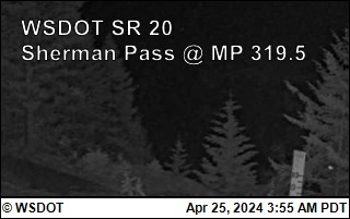
Sherman Pass
SR 20 · 5,575 ft · 26°F
No current report
No current information at this time
Trailheads & campgrounds nearby (4)
Sherman Overlook Campground (1 mi), Jungle Hill Horse Campground (2 mi), Snow Peak Trailhead (3 mi), Wapaloosie Horse Campground (4 mi)
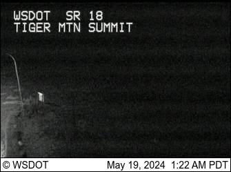
Tiger Mountain
SR18 · 1,377 ft
No current report
Reports have ended for this season. Traditionally weather and road conditions are reported from November 1 to April 1. Should adverse weather occur that will impact travel, updates will be provided as information is available
Trailheads & campgrounds nearby (2)
Lake Sammamish State Park Campground (9 mi), Kanaskat-Palmer State Park Campground (10 mi)
E Diamond Lake Summit
OR 138 · 30°F · 4 in of snow beside the road
Chains required
Chains required. Traction tires allowed in place of chains on vehicles under 10,000 GVW and not towing. Vehicles towing must use chains.
Trailheads & campgrounds nearby (4)
Diamond Lake RV Park (8 mi), Digit Point Campground (8 mi), Diamond Lake Campground (9 mi), Broken Arrow Campground (9 mi)
Blizzard Gap
OR 140 · 33°F · 6 in of snow beside the road
Traction tires advised
Carry Chains or Traction Tires
Doherty Rim Summit
OR 140 · 30°F · 4 in of snow beside the road
Traction tires advised
Carry Chains or Traction Tires
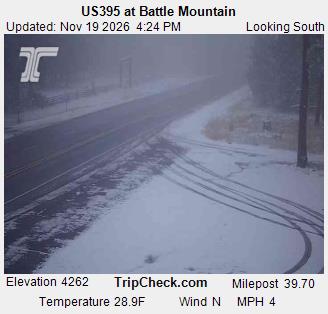
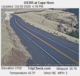
Battle Mt. Summit
US 395 · 29°F
No restrictions
Trailheads & campgrounds nearby (4)
Ukiah-Dale Forest State Scenic Corridor Campground (11 mi), Lane Creek Campground (12 mi), Bear Wallow Creek Campground (13 mi), Divide Well Campground (15 mi)
Bennett Pass/Mt. Hood Meadows
OR 35 · 30°F · 1 in of snow beside the road
No restrictions
Nearby: A fire is in the area. Use caution.
Trailheads & campgrounds nearby (4)
Elk Meadows Trailhead (1 mi), Gumjuwac Trailhead (3 mi), Gunsight Trailhead (3 mi), Badger Lake Campground (3 mi)
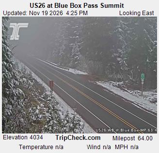
Blue Box Pass
US 26 · 33°F · 2 in of snow beside the road
No restrictions
Trailheads & campgrounds nearby (4)
Frog Lake Campground (1 mi), Frog Lake Butte Trailhead (1 mi), Clear Lake Campground (2 mi), Catalpa Lake Trailhead (3 mi)
Bly Summit
OR 140 · 34°F · 6 in of snow beside the road
No restrictions
Canyon Creek Pass
I-5 · 41°F
No restrictions
Trailheads & campgrounds nearby (1)
Devil's Flat Campground (13 mi)
Devine Summit
US 395 · 35°F · 4 in of snow beside the road
No restrictions
Trailheads & campgrounds nearby (1)
Idlewild Campground (1 mi)
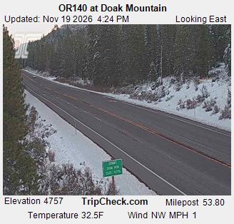
Doak Mt. Summit
OR 140 · 35°F · 2 in of snow beside the road
No restrictions
Trailheads & campgrounds nearby (4)
Varney Creek Trailhead (7 mi), Clover Creek Trailhead (9 mi), Mountain Lakes Trailhead (11 mi), Sunset Campground @ Lake of the Woods (12 mi)
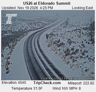
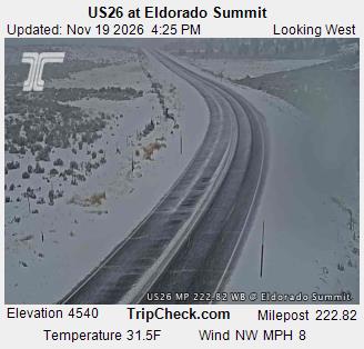
Eldorado Pass
US 26 · 32°F · 1 in of snow beside the road
No restrictions
Trailheads & campgrounds nearby (3)
Unity Lake State Recreation Site Campground (11 mi), South Fork Campground (11 mi), Middle Fork Campground (14 mi)
Government Camp
US 26 · 31°F · 1 in of snow beside the road
No restrictions
Trailheads & campgrounds nearby (4)
Paradise Park Trailhead (0 mi), Hidden Lake Trailhead (0 mi), Little Zigzag Falls Trailhead (1 mi), Mirror Lake Trailhead (2 mi)
Green Springs Summit
OR 66 · 32°F · 3 in of snow beside the road
No restrictions
Trailheads & campgrounds nearby (4)
Wildcat Campground (8 mi), Hyatt Horse Camp (8 mi), Hyatt Lake Campground (8 mi), Surveyor Recreation Site (10 mi)
Hayes Hill Summit
US 199 · 43°F
No restrictions
Trailheads & campgrounds nearby (4)
Selmac Lake Park (5 mi), Spalding Pond Campground (6 mi), Onion Way Trailhead (8 mi), Sixmile Campground (8 mi)
Meadowbrook Summit
US 395 · 29°F
No restrictions
Nearby: Highway erosion is causing minimal delay to traffic. There is an abrupt edge to the roadway. Use caution.
Trailheads & campgrounds nearby (4)
Tollbridge Campground (8 mi), Driftwood Campground (11 mi), Welch Creek Campground (11 mi), Gold Dredge Campground (12 mi)
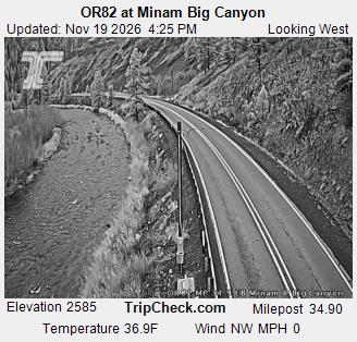
Minam Summit
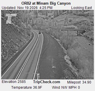
OR 82 · 38°F
No restrictions
Trailheads & campgrounds nearby (2)
Minam State Recreation Area Campground (1 mi), Boundary Campground (13 mi)
Mt. Ashland Ski Road
OR 273 · 24°F · 18 in of snow beside the road
No restrictions
Trailheads & campgrounds nearby (4)
Bull Gap Lower Trailhead (4 mi), Bull Gap Upper Trailhead (5 mi), Grouse Loop Trailhead (6 mi), PCNST Grouse Gap Trailhead (7 mi)
Mt. Bachelor
· 5 in of snow beside the road
No restrictions
Trailheads & campgrounds nearby (4)
Swampy Lakes Sno-Park (1 mi), Meissner Sno-Park/Trailhead (1 mi), Tumalo Falls (3 mi), Skyliners Sno-Park/Trailhead (3 mi)
Ochoco Summit
US 26 · 3 in of snow beside the road
No restrictions
Nearby: Utility work is causing minimal delay to traffic. Use caution.
Trailheads & campgrounds nearby (4)
Cougar East Trailhead (2 mi), Ochoco Divide Campground (3 mi), Wildwood Campground (3 mi), Bandit Springs Sno-Park and Trailhead (4 mi)
Picture Rock Pass
OR 31 · 34°F
No restrictions
Trailheads & campgrounds nearby (2)
Duncan Reservoir Campground (8 mi), Eastbay Campground (15 mi)
Quartz Mt. Summit
OR 140 · 29°F · 2 in of snow beside the road
No restrictions
Trailheads & campgrounds nearby (4)
Lofton Reservoir Campground (3 mi), Cottonwood Trailhead (9 mi), Cottonwood Recreation Area Campground (9 mi), Lookout Rock Trailhead (11 mi)
Santiam Pass Summit
US 20 · 27°F · 3 in of snow beside the road
No restrictions
Trailheads & campgrounds nearby (4)
Santiam Pass (Pacific Crest Trail) (0 mi), Lost Lake Campground (Santiam Pass) (3 mi), Pacific Crest Trailhead at Big Lake (3 mi), Big Lake Campground (3 mi)
Sexton Pass To Stage Pass NB
I-5 · 39°F
No restrictions
Trailheads & campgrounds nearby (2)
Skull Creek (13 mi), Elderberry Flat (14 mi)
Sexton Pass To Stage Pass SB
I-5 · 39°F
No restrictions
Trailheads & campgrounds nearby (2)
Skull Creek (13 mi), Elderberry Flat (14 mi)
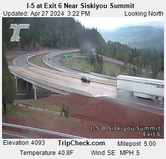
Siskiyou Summit NB
I-5 · 31°F · 6 in of snow beside the road
No restrictions
Trailheads & campgrounds nearby (4)
Bull Gap Lower Trailhead (3 mi), Bull Gap Upper Trailhead (4 mi), Grouse Loop Trailhead (4 mi), PCNST Grouse Gap Trailhead (6 mi)
Siskiyou Summit SB
I-5 · 31°F · 6 in of snow beside the road
No restrictions
Trailheads & campgrounds nearby (4)
Bull Gap Lower Trailhead (3 mi), Bull Gap Upper Trailhead (4 mi), Grouse Loop Trailhead (4 mi), PCNST Grouse Gap Trailhead (6 mi)
Stinkingwater Summit
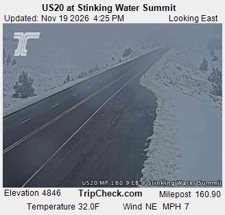
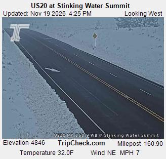
US 20 · 32°F · 14 in of snow beside the road
No restrictions
Closure reported nearby: check TripCheck
Nearby: Rest area closed for the season.
Sunset Summit
US 26
No restrictions
Trailheads & campgrounds nearby (1)
L.L. "Stub" Stewart State Park Campground (3 mi)
Timberline Lodge
OR 173 · 29°F · 2 in of snow beside the road
No restrictions
Trailheads & campgrounds nearby (4)
Alpine Campground (1 mi), Timberline Lodge (1 mi), Mirror Lake Trailhead (3 mi), Trillium Lake Campground (3 mi)
Tipton Summit
OR 7 · 28°F · 5 in of snow beside the road
No restrictions
Trailheads & campgrounds nearby (4)
Oregon Campground (7 mi), Yellow Pine Campground (8 mi), Wetmore Campground (9 mi), McCully Forks Campground (9 mi)
W Diamond Lake Summit
OR 230 · 32°F · 4 in of snow beside the road
No restrictions
Trailheads & campgrounds nearby (4)
Upper Rogue River - Hamaker Trailhead (3 mi), National Creek Falls Trailhead (3 mi), Muir Creek Trailhead (4 mi), Minnehaha Trailhead (4 mi)
Warner Mt. Summit
OR 140 · 27°F · 3 in of snow beside the road
No restrictions
Trailheads & campgrounds nearby (4)
Walker Trailhead (2 mi), Mud Creek Campground (3 mi), Rogger Meadow Trailhead (5 mi), Twin Springs Campground (5 mi)
Willamette Pass
OR 58 · 32°F
No restrictions
Trailheads & campgrounds nearby (4)
Trapper Creek Campground (3 mi), Gold Lake Campground (3 mi), Pacific Crest Trailhead - Willamette Pass (3 mi), Fuji Mountain Trailhead at Gold Lake (3 mi)
Willamette Pass East
OR 58 · 28°F · 2 in of snow beside the road
No restrictions
Trailheads & campgrounds nearby (4)
Crescent Creek Campground (3 mi), Crescent Lake Campground (4 mi), Contorta Flat Campground (5 mi), Crater Butte Trailhead (6 mi)
Wilson River Summit
OR 6
No restrictions
No passes match. Try part of a name or a highway number.
About this data
Washington pass reports come from WSDOT’s Traveler Information API and Oregon’s from ODOT TripCheck road & weather stations, refreshed every 15 minutes; cameras are the nearest state highway cameras.
“Closed”, “chains” and “traction” are read from the agencies’ own wording. Conditions change fast in winter: before you go, check
WSDOT or TripCheck, and carry chains.